Vectiler
Create and Export 3D City Models and Topographic Maps Worldwide
halfmaps
Three.js Marketplace
Three.js Marketplace
Kickstart your Three.js and React Three Fiber (R3F) projects with our free and premium components themes and tools. Designed for freelancers, developers, and agencies, each product includes essential features to get you up and running quickly.
Links
Featured Badge
Add this badge to your website to show you are featured on Three.js Resources.
Description
Instantly create city models with real topography. Export to GLTF, ready for rendering, editing, or 3D printing.
Vectiler converts real-world geographic data into fully usable 3D models, ready for any modern 3D workflow. Select any location—from dense cities like New York, Tokyo, or Paris to remote terrain—and instantly export GLTF/GLB files for your 3D software.
Sponsors

Related Resources

Three low poly
Jason Sturges' Three.js Low Poly project showcases the creation of low-poly 3D
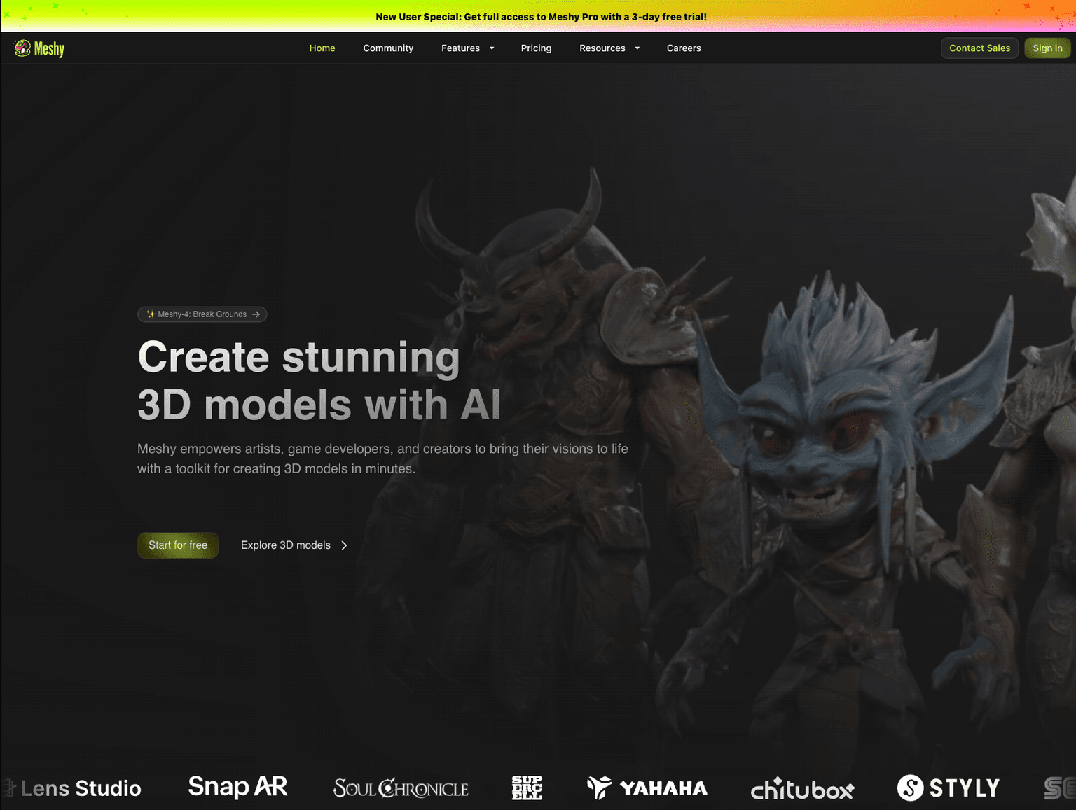
Meshy AI
Meshy offers AI-generated 3D models, perfect for expanding and enhancing three.js resources quickly.